


Related Searches
- Map
- Prince
- Edward
- Island
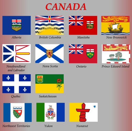
- Canada
- Outline
- Location
- State
- Province
- Administrative
- Area
- Boroughs
- Canadian
- Cartography
- Center
- City
- County
- Department
- Detailed
- District
- Division
- Famous
- Geography
- Government
- Graphic
- Greater
- Guide
- Illustration
- Mapping
- Overview
- Plan
- Political
- Prefecture
- Land
- Region
- Review
- Sub
- Texture
- Tourism
- Tower
- Town
- Travel
- Union
- United
- Vector