


Related Searches
- Map
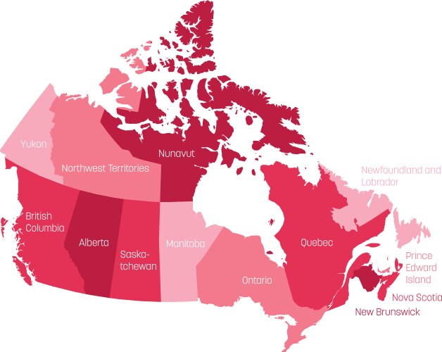
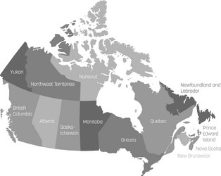
- Canada
- Province
- Outline
- Divided
- Provinces
- Black
- Country
- Manitoba
- Newfoundland
- Nunavut
- Vector
- White
- World
- Canadian
- Nova
- 10
- 3
- Illustration
- Administrative
- Alberta
- America
- Border
- British
- Cartography
- Columbia
- Detail
- Geography
- High
- Label
- Labrador
- Name
- New
- North
- Northwest
- Ontario
- Part
- Political
- Quebec
- Saskatchewan
- State
- Territories
- Territory
- Yukon
- Brunswick
- Division
- Edward
- Graphic
- Island
- Land
- Prince