


Related Searches
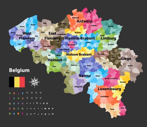
- Belgium
- Provinces
- Map
- Country
- Antwerp
- City
- Province
- Administrative
- Area
- Atlas
- Background
- Benelux
- Border
- Brabant
- Brussels
- Cartography
- Colorful
- Design
- District
- Division
- East
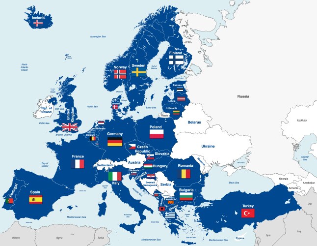
- Europe
- European
- Flanders
- Flemish
- France
- Geography
- Germany
- Graphic
- Hainaut
- Travel
- Vector
- Illustration
- Land
- Liege
- Limburg
- Luxembourg
- Namur
- Netherlands
- Political
- Region
- State
- Subdivision
- Tourism
- West
- North
- Sea